Sailing holiday albums; Monemvasia |
 |
||
|
Monemvasia is sometimes referred to as ‘The Gibraltar of the East’ and for good reason. Across the top are the remains of a Byzantine town and fortress while below a later medieval town hangs on the steep slope. Monemvasia should rank as a ‘must see’ site. |
|||
Images of Monemvasia, Peloponnese |
Sailing holiday enquiry |
||
|
Monemvasia is sometimes referred to as; ‘The Gibraltar of the East’ and for good reason, the huge rock of Monemvasia rises almost vertically from the sea. Across the top are the scattered remains of a Byzantine town and fortress while on the southern ‘shoulder’ of the rock, a later medieval town hangs on the steep slope. The remains on the top are a jumble of overgrown buildings and fortifications; there are remains everywhere you look, but the only ‘standing structure’ is the church of áyyia Sofia perched on the cliff edge to the north east of the rock. The ‘lower town’ has been tastefully preserved and you can wander the small streets and alleyways, browsing souvenir shops or stopping for a drink or something to eat, often with stunning views to the south. There is an incomplete ‘marina’ just to the south and a ‘north quay’ where you can moor. Tavernas, banks and supplies are available in Yerifa at the mainland end of the causeway that links Monemvasia to the Peloponnese. Monemvasia is a beautiful spot and should rank as a ‘must see’ site. That may seem ‘marketing hyperbole’, but you’ll understand if you ever visit. You can find more information about Monemvasia at Wikipedia and monemvasia.com. Finding MonemvasiaMonemvasia is on the south eastern Peloponnese coast. A safe waypoint off the eastern end of the rock is: 36° 41’.40N 23° 04’.00E (WGS84). Sailing holiday images; Monemvasia, Peloponnese
Looking from the entrance to the ‘upper town’ over the medieval walled ‘lower town’ 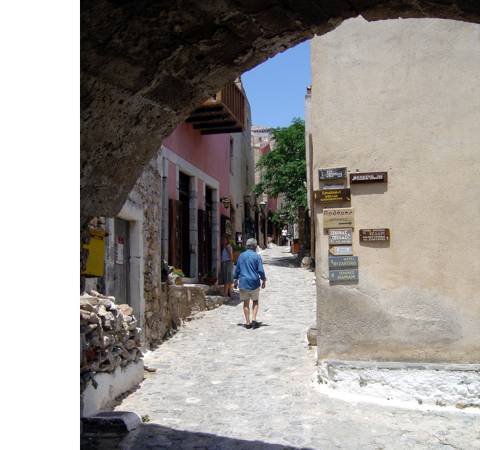
Looking up the ‘main street’ from the exit from the entrance tunnel through the town wall 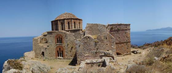
The church of áyia Sofia which sits on the top of the plateau and is the only real ‘standing structure’ left within the walls of the ‘upper town’ 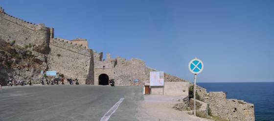
The road entrance to the medieval walled town where the shuttle bus up from Yerifa will drop you 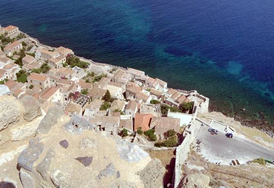
Looking down from the walls of the ‘upper town’ over the walls and entrance to the ‘lower town’ 
Looking back from the plateau on the top of Monemvasia towards the mainland and new town of Yerifa 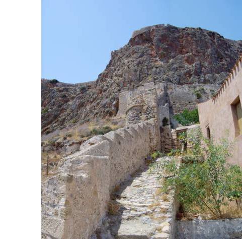
Part of the western town wall of the medieval town 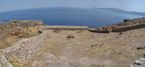
A ‘rain catcher’ to collect fresh rain water and channel it into the cistern; the long low building across the bottom of the catchment area. Similar ‘rain catchers’ are still in use in modern Gibraltar 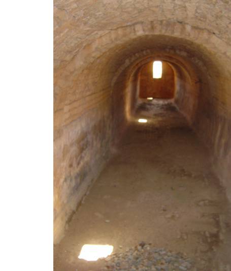
The water cistern in which the collected rain water was stored 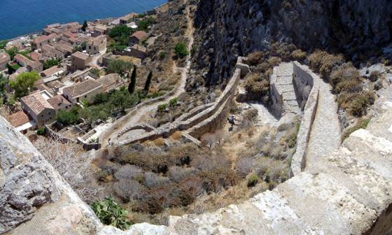
The walled and guarded path that leads from the ‘lower town’ to the ‘upper town’ 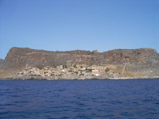
Looking north west at the medieval walled town built below the earlier Byzantine town and fortress above. This is the view you will get as you sail around the southern side of the rock View Monemvasia in a larger map |
In this section...
Sign-up for our newsletter
Enter your Email address to receive periodic news, sailing tips & offers from Greek Sails:
To manage your subscription including unsubscribe, enter your Email address and follow the instructions that will be sent to you.
Like this page?
Like this page? Think it useful? Tell us & tell your friends by “Liking” or sending to share on Facebook, “+1” on Google+, LinkedIn “in share” or Tweet your find and follow us on Twitter.

|
||
|
© Copyright 2024, Greek Sails Limited, Douzina 166, Punta, Poros Island, 18020, Attica, Greece Tel.: (+44) 203 286 6200 or (+30) 2298 023 147 - Fax.: (+30) 2298 022 040 Email: Add Greek Sails to your Address Book Privacy & cookies |

|
||


